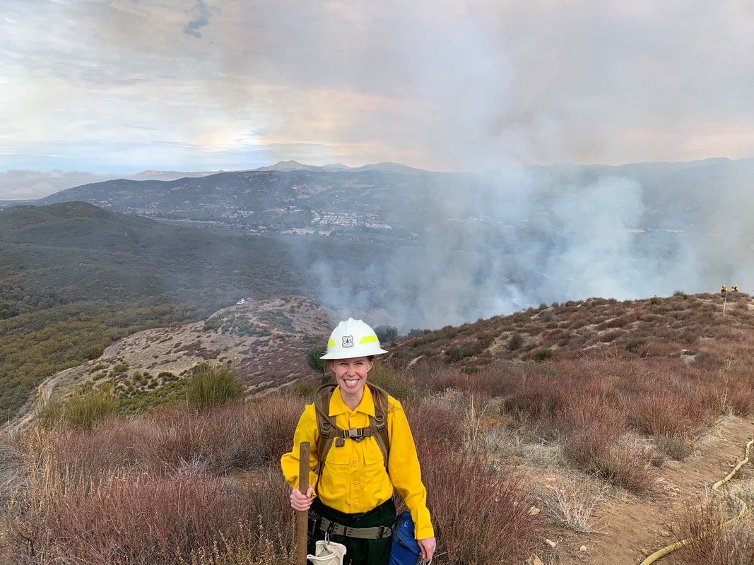
I have been involved in the remote sensing community for nearly two decades and performed field work around the world -- Monterey County, CA (2008 - 2012), Australia (2009), Tinian and Guam (2010), and San Diego County, CA (2019 - 2022). One common theme of my work of which I'm most proud is that my research results can be used to benefit emergency and first responders.
My recent research was focused on using moderate spatial resolution satellite imagery to locate and quantify non-native herbaceous growth forms in Southern California coastal shrubland ecoregions. My previous research objectives were mainly focused on using multispectral data to learn about shallow water bathymetry.
My recent research was focused on using moderate spatial resolution satellite imagery to locate and quantify non-native herbaceous growth forms in Southern California coastal shrubland ecoregions. My previous research objectives were mainly focused on using multispectral data to learn about shallow water bathymetry.
Ph.D. Research
|
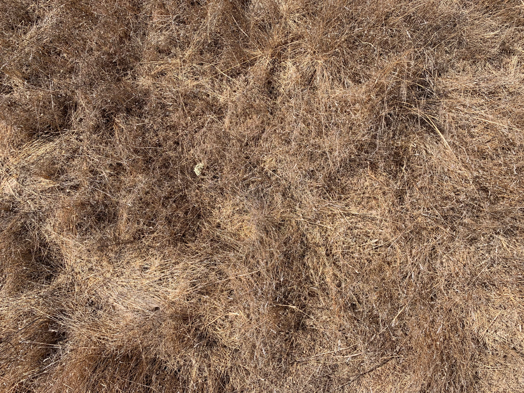
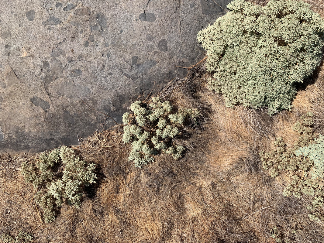
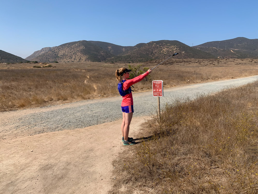
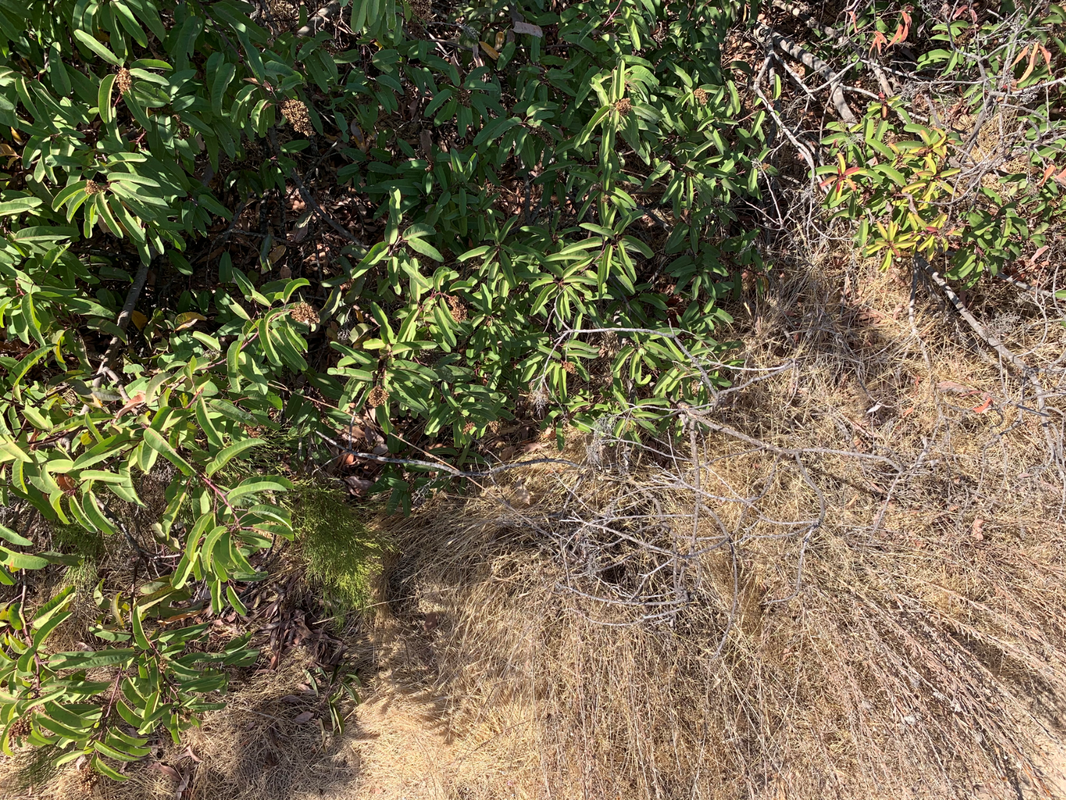
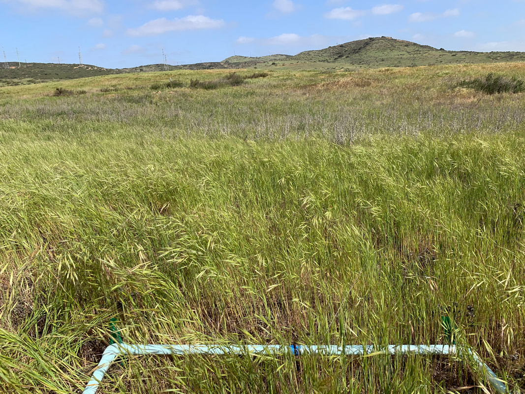
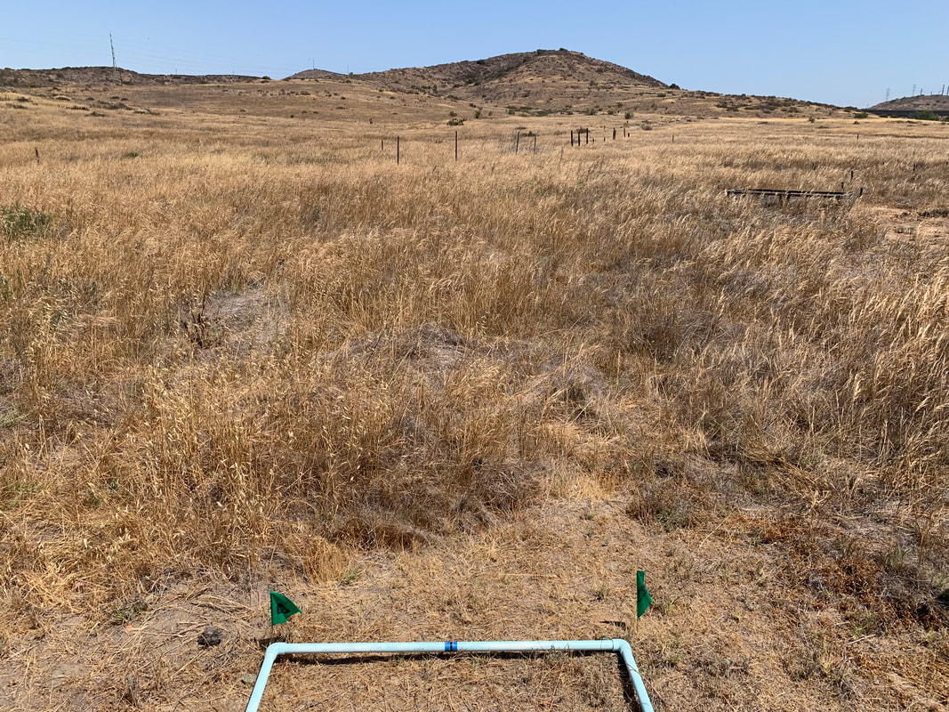
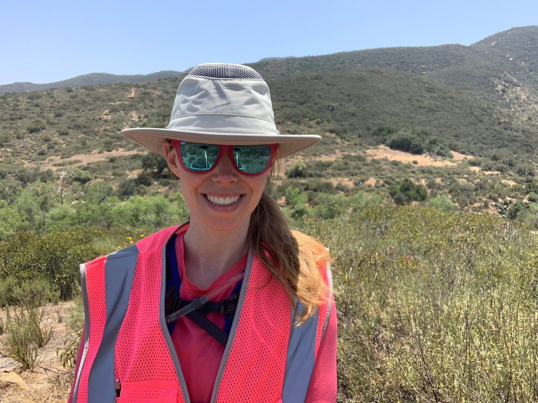
Performing field work in Southern California grasslands (2020 - 2021)
|
SATELLITE-DERIVED ESTIMATES OF HERBACEOUS FRACTIONAL COVER AND ITS INFLUENCE ON FIRE REGIME IN SOUTHERN CALIFORNIA, USA
After a wildfire burns through chaparral and coastal sage scrub communities, non-native (invasive) grasses and forbs are often the first vegetation to establish within burn scar perimeters. In the event of a future ignition, these invaders are considered to be “flashy” fuels that burn and often spread flames faster than other native growth forms. My research objectives include using moderate spatial resolution satellite imagery to determine fractional cover of non-native herbaceous growth forms in Southern California shrubland ecoregions and analyze how expansion of this vegetation over the past 35+ years has affected the wildland fire regime in terms of ignition potential and likelihood of uncontrolled fire spread. The results of this research can be used by wildland firefighters, geographers, ecologists, city planners, and community members to determine areas that require mitigation and preventative measures prior to the start of the next fire season. RESEARCH QUESTIONS:
|


M.S. research
|
USING MULTI-ANGLE WORLDVIEW-2 (WV-2) IMAGERY TO DETERMINE OCEAN DEPTH NEAR OAHU, HAWAII
Abstract: Multispectral imaging (MSI) data collected at multiple angles over shallow water provide analysts with a unique perspective of bathymetry in coastal areas. Observations taken by DigitalGlobe’s (now Maxar's) WorldView-2 (WV-2) sensor acquired at 39 different view angles on 30 July 2011 were used to determine the effect of acquisition angle on derived depth. The site used for this study was on the island of Oahu, focused on Kailua Bay (on the windward side of the island). Satellite azimuth and elevation for these data ranged from 18.8 to 185.8 degrees and 24.9 (forward-looking) to 24.5 (backward-looking) degrees (respectively) with 90 degrees representing a nadir view. Bathymetry were derived directly from the WV-2 radiance data using a band ratio approach. Comparison of results to LiDAR-derived bathymetry showed that varying view angle impact the quality of the inferred bathymetry. Derived and reference bathymetry have a higher correlation as images are acquired closer to nadir. The band combination utilized for depth derivation also has an effect on derived bathymetry. Four band combinations were compared, and the Blue & Green combination provided the best results. Specific Objectives: The objective of this study was to test the potential of bathymetric derivation using WV-2 imagery acquired at multiple angles, and then report upon the role that image acquisition angle plays in depth determination. The motivation for this work originated from the need to determine bathymetry from only a single spectral image of the coastal region in question. There is no guarantee that this image will have been acquired at optimal viewing geometry, e.g., nadir. Without sufficient time to task a satellite and acquire data at a particular viewing angle before a site visit, results from this research strive to provide a better understanding of how to manipulate image data in order to obtain a better understanding of bathymetry. Analysis of multi-angle MSI data was used to quantify the effects of varying satellite acquisition angle on accurate determination of bathymetry. Lee, K.R., (2012) Using Multi-Angle WorldView-2 Imagery to Determine Ocean Depth near Oahu, Hawaii. Unpublished M.S. Thesis, Naval Postgraduate School, Monterey, CA. To read my Master's Thesis (2012), use this link. For the proceedings papers, refer to Publications & Proceedings. |
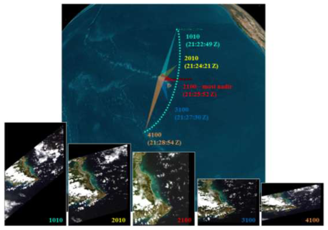
Five examples out of the 39 WV-2 image acquisitions (labels are actual Image IDs)
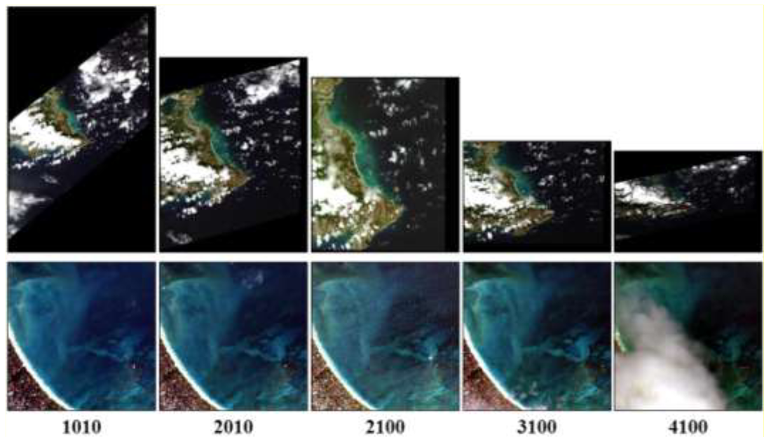
After registration, each image (top) was chipped to the 995 x 999 pixel scene shown (bottom)
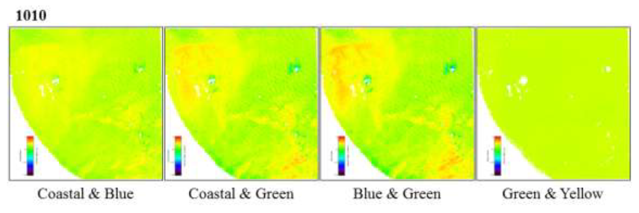
Derived depths for each band combination for Image 1010 (most forward-looking)
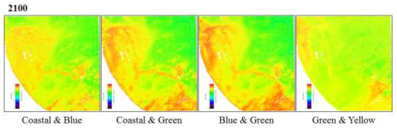
Derived depths for each band combination for Image 2100 (most nadir)
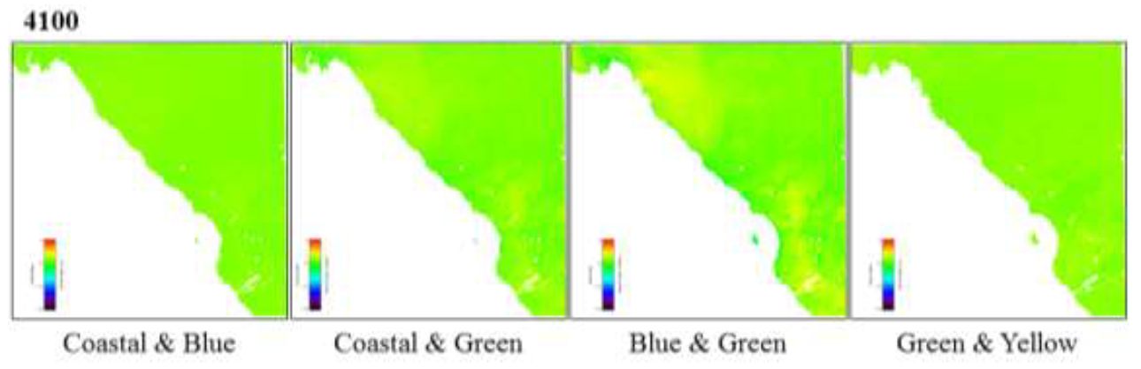
Derived depths for each band combination for Image 4100 (most backward-looking)
|
Other Qualifications & Skills
- Certificate: SDSU “Techniques of Teaching College Geography Courses” (Aug 2021)
- Certificate: Satellite Observations and Tools for Fire Risk (NASA Applied Remote Sensing Training (ARSET)) (Aug 2021)
- Certificate: Understanding Phenology with Remote Sensing (NASA ARSET) (Jul 2020)
- Certificate: Advanced Webinar: Techniques for Wildfire Detection & Monitoring (NASA ARSET (Sep 2018)
- USAFA Center for Educational Innovation Faculty Development Activities (2015 – 2016)
- Book Groups:
- “What the Best College Teachers Do” (Ken Bain)
- “Facilitating Seven Ways of Learning” (James R. Davis & Bridget D. Arend)
- “Creating Self-Regulated Learners” (Linda B. Nilson)
- “The Culturally Inclusive Educator” (Dena R. Samuels)
- New Faculty Orientation (Fall 2015)
- Book Groups:
- USAFA DFEG New Faculty Orientation (Fall 2015)
- Book: “Tools for Teaching” (Barbara Gross Davis)
- Professional Training: Foundations of Geographic Information and Spatial Analysis (Booz Allen Hamilton) (Jul 2015)
- GEOINT Professional Certification (National Geospatial-Intelligence Agency (NGA)) (Mar 2015 – Apr 2018)
- Computer Skills: ENVI+IDL; Google Earth Engine (GEE) and the web-based integrated development environment (IDE) for the EarthEngine JavaScript API; Esri ArcGIS Pro, Online, StoryMaps, and Desktop; ERDAS IMAGINE; Microsoft Office Suite (Word, PowerPoint, Excel, SharePoint, and Visio)
Updated 26 June 2024
